Skip to content

  • Join | Log in
menu close
  • New to riding
    • Riding in Brisbane guide
    • Why ride a bike
    • People who ride
    • Look after your bike
  • Riding types
    • E-wheeling
    • Riding with kids
    • Leisure riding
    • Riding to work or study
    • Mountain biking
    • BMX riding
    • Competitive and training riding
  • Bikeways
    • Interactive bikeway map
    • Brisbane's bikeways and rides
    • Bike parking and facilities
  • Your safety
    • Riding on bikeways
    • Riding on roads
    • Riding on trails
    • Riding signs and rules
  • Events & Workshops
    • Love to Ride 2020
    • About our trainers
    • About our workshops
  • Offers
    • Partners

You are here

  1. Home ›
  2. Bikeways ›
  3. Eight Mile Plains to Tarragindi

Eight Mile Plains to Tarragindi

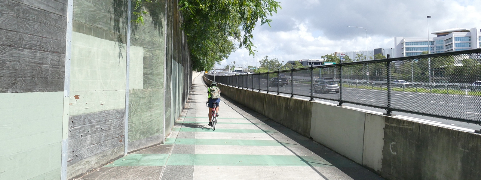
This route runs from the Eight Mile Plains bus station to Tarragindi, with an ongoing direct connection to the city centre. It includes links to Westfield Garden City, Garden City Bus Station and Library, sports facilities and Griffith University Mt Gravatt and Nathan campuses.

At Eight Mile Plains, the route connects to Wishart, Carindale and beyond via Bulimba Creek Bikeway. At Tarragindi, there is a link to the Norman Creek Bikeway, which provides access to busway stations, Stones Corner Library, Langlands Pool and other leisure facilities, schools and the Norman Creek ferry terminal.  

Download the map

  • Eight Mile Plains to Tarragindi (PDF -269kb)

You can also view the area of this map on Google Maps and on Cycling Brisbane's interactive bikeway map.

Connections

  • Tarragindi to Norman Park
  • Murarrie to Wishart
  • Runcorn to Mount Gravatt
Share
  • Facebook
  • Twitter
  • LinkedIn
  • Email
28 September 2020
Cycling Brisbane an initiative of Brisbane City Council
Copyright © 2015 Brisbane City Council
  • About us
  • Contact us
  • Disclaimer
  • Privacy Policy
Brisbane City Council Dedicated to a better Brisbane