Skip to content

  • Join | Log in
menu close
  • New to riding
    • Riding in Brisbane guide
    • Why ride a bike
    • People who ride
    • Look after your bike
  • Riding types
    • E-wheeling
    • Riding with kids
    • Leisure riding
    • Riding to work or study
    • Mountain biking
    • BMX riding
    • Competitive and training riding
  • Bikeways
    • Interactive bikeway map
    • Brisbane's bikeways and rides
    • Bike parking and facilities
  • Your safety
    • Riding on bikeways
    • Riding on roads
    • Riding on trails
    • Riding signs and rules
  • Events & Workshops
    • Love to Ride 2020
    • About our trainers
    • About our workshops
  • Offers
    • Partners

You are here

  1. Home ›
  2. Bikeways ›
  3. Inner city connections

Inner city connections

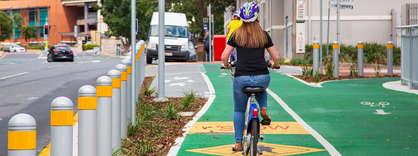
Brisbane isn’t called the river city for nothing. Use this map to find out how to get from the northside of the river to the south, and how to head east and west using two green bridges (the Kurilpa Bridge and Goodwill Bridge) where no vehicle access is permitted, and the separated path on the Go Between Bridge.

Download the map

  • Inner city connections (PDF - 450kb)

You can also view the area of this map on Google Maps and on Cycling Brisbane's interactive bikeway map.

Connections

  • Inner north to city centre
  • Inner south to city centre
  • Inner west to city centre
  • Inner east to city centre
  • West End to city centre
  • QUT Kelvin Grove to QUT Gardens Point
  • Woolloongabba to University of Queensland
Share
  • Facebook
  • Twitter
  • LinkedIn
  • Email
28 September 2020
Cycling Brisbane an initiative of Brisbane City Council
Copyright © 2015 Brisbane City Council
  • About us
  • Contact us
  • Disclaimer
  • Privacy Policy
Brisbane City Council Dedicated to a better Brisbane